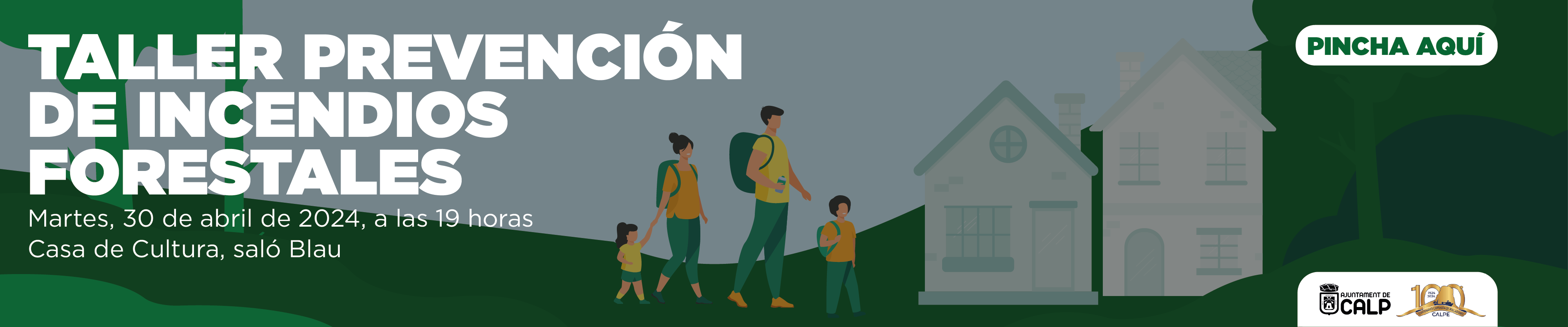
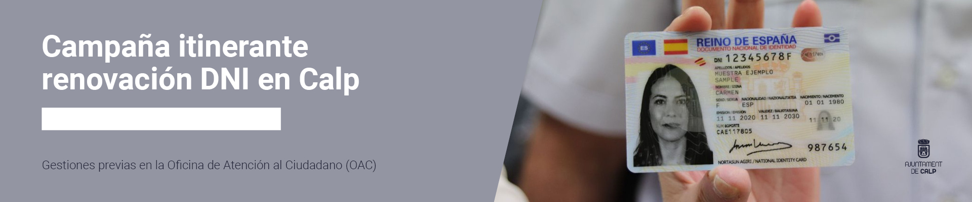
|
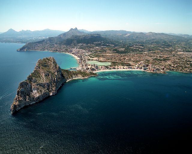
The Calpe City Council has set up a geoportal, a web-based tool that integrates all geographical information about the municipality and can be displayed on various maps. In this way, citizens, businesses and the various public institutions can now quickly and flexibly retrieve all data related to a specific physical area of the town and originating from both the city council and other public administrations. With the geoportal, citizens can access the urban planning information for each plot of land in the locality (with its features, compatible uses...), environmental information (i.e. the protected areas of the locality, the beaches, the seabed cartography, the type of soil)....), street furniture (where the lights, trees, benches, wastebaskets, pedestrian crossings or letterboxes are located...), the street map of the town (with its names, neighbourhood borders, streets and registration offices). In addition, there are a number of questions related to mobility (where parking meters and areas with limited parking times are located), where the sewage and water supply pipes are located, as well as areas at risk of flooding and earthquakes. Citizens can also use this portal to find out the status of the procedures. The geoportal also contains aerial photographs of the city from 1956, which show the development of the city area. The aim of such a tool is to create more transparency and to make information about the city of Calpe accessible to the citizens. Citizens can not only view but also download this information and save time by not having to visit the city's offices. On the other hand, the geoportal becomes a useful tool for the city administration. It also gives city officials access to other information, such as the tax levies, the registration office or at a glance, which properties pay the property tax (IBI), the waste disposal levies or the entrance fees (vado). City employees can also find out which citizens live in which neighbourhoods or which apartments are unoccupied.
|